Technology
Technology configured around the mission.
LANGIT combines enterprise aircraft, sensors, positioning systems and processing workflows according to the operational requirement — not the other way around.
Requirement → Platform → Payload → Positioning → Processing → Output
Mission configurator
One system, configured per mission.
We configure the right aircraft, payload and processing workflow around the mission requirement — not the other way around.
Payload
Zenmuse L2 / L3
Positioning
D-RTK 3
Processing
DJI Terra
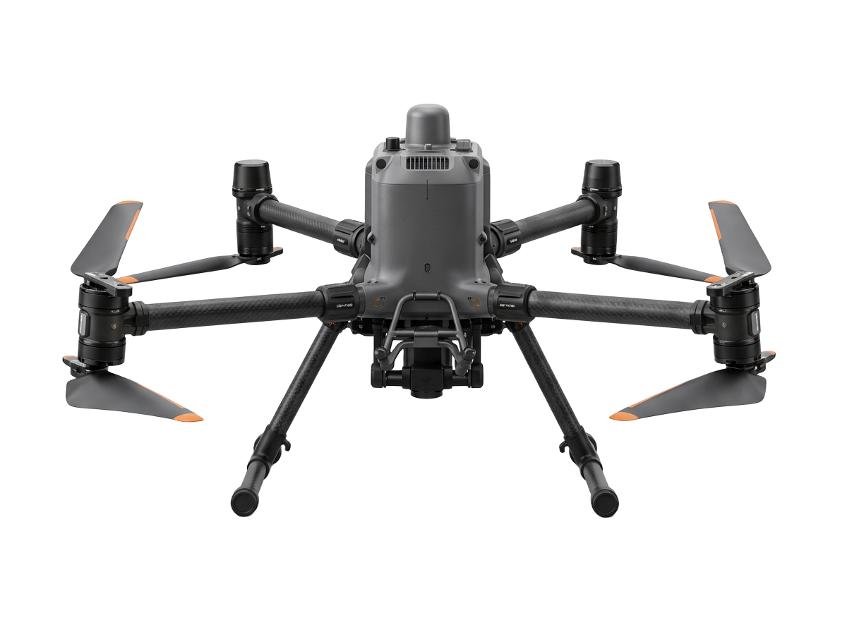
- Platform
- DJI Matrice 400 / Matrice 350 RTK
- Payload
- Zenmuse L2 · Zenmuse L3 · Zenmuse P1
- Ground / Positioning
- DJI D-RTK 2 · DJI D-RTK 3
- Processing
- DJI Terra
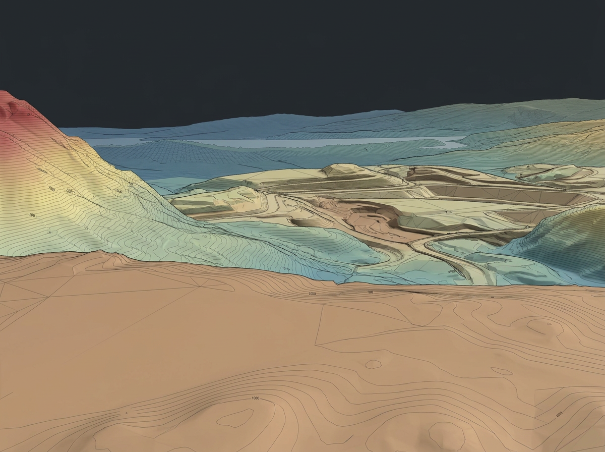
- Typical Outputs
- Orthomosaic · DSM · DTM · Contours · Point Cloud · Terrain Models
Technology ecosystem
More than the aircraft.
Reliable aerial operations depend on the complete technology stack — from positioning and payload selection to mission management and processing.
Layer 01
Aircraft
Enterprise platforms selected around the mission.
Layer 02
Sensors
LiDAR, photogrammetry, visual and thermal capture.
Layer 03
Ground & Positioning
RTK / positioning and field infrastructure.
Layer 04
Data & Processing
Mission management, processing and deliverable generation.
Platform library
Technology we configure around projects.
Platforms, sensors and systems LANGIT works with and selects according to each project requirement.
Matrice 400
Heavy-lift enterprise platform for LiDAR and mapping payloads.
Matrice 350 RTK
Proven RTK platform for survey and inspection payloads.
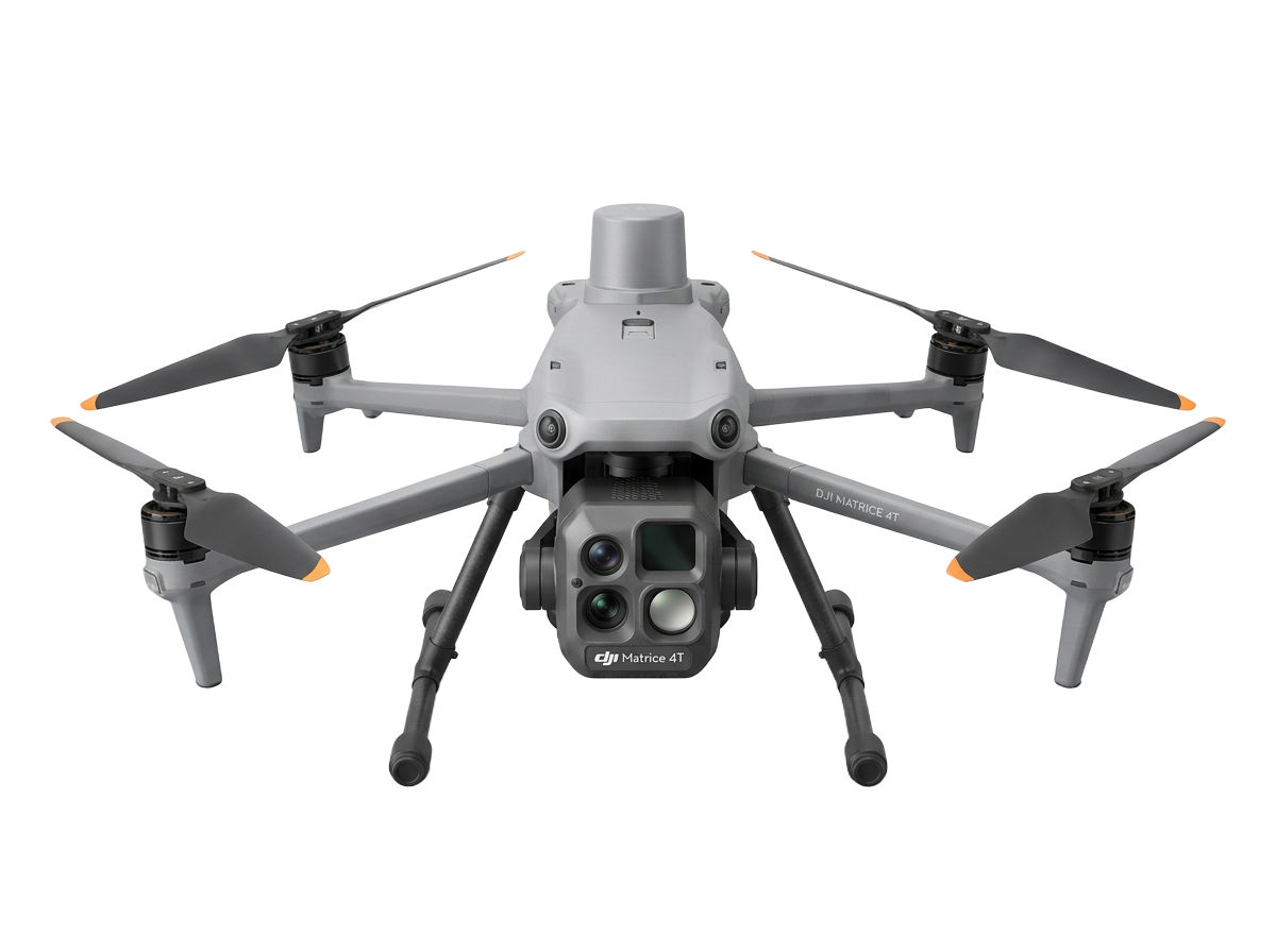
Matrice 4 Series
Compact enterprise aircraft with integrated imaging.
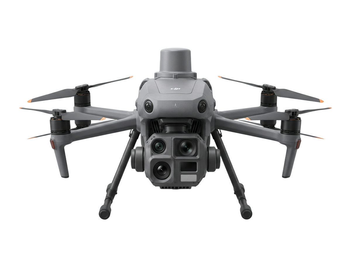
Matrice 4D / 4TD
Dock-ready aircraft for remote and repeat missions.
Matrice 30 Series
Rugged integrated platform for inspection work.
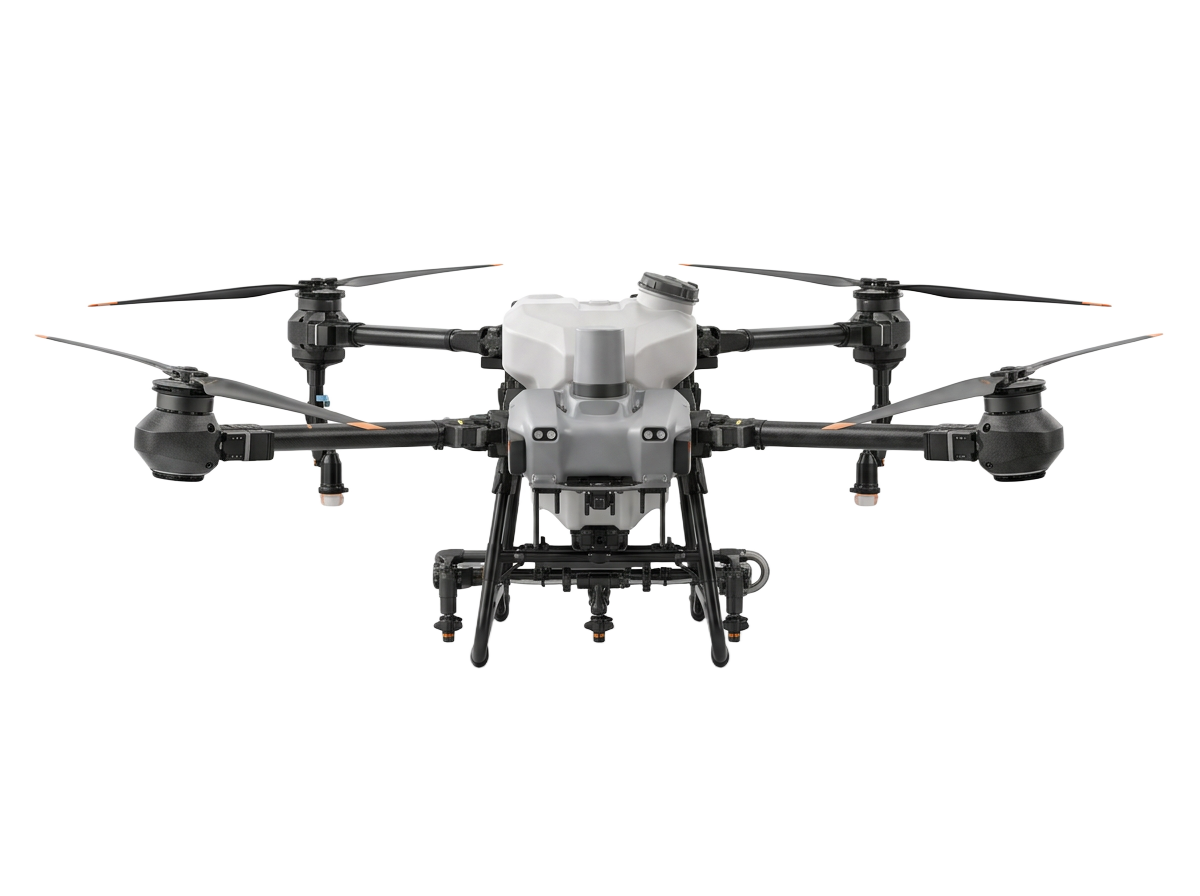
DJI Agras
Agricultural platform for spraying and spreading.
Products are shown as technology LANGIT can work with and configure around project requirements. Product names belong to their respective manufacturers.
Discuss a Technology RequirementData & software
The mission does not end when the aircraft lands.
Captured data is processed, reviewed and converted into the outputs required for the project.
- 01 Capture
- 02 Transfer
- 03 Process
- 04 Validate
- 05 Deliver
DJI Terra
Processing workflows for mapping, terrain and LiDAR data.
DJI FlightHub 2
Mission visibility, fleet operations and remote workflow support where applicable.
Maintenance & fleet support
Keep the aircraft ready for the next mission.
Technical inspection, troubleshooting, servicing and fleet support for professional drone operations.
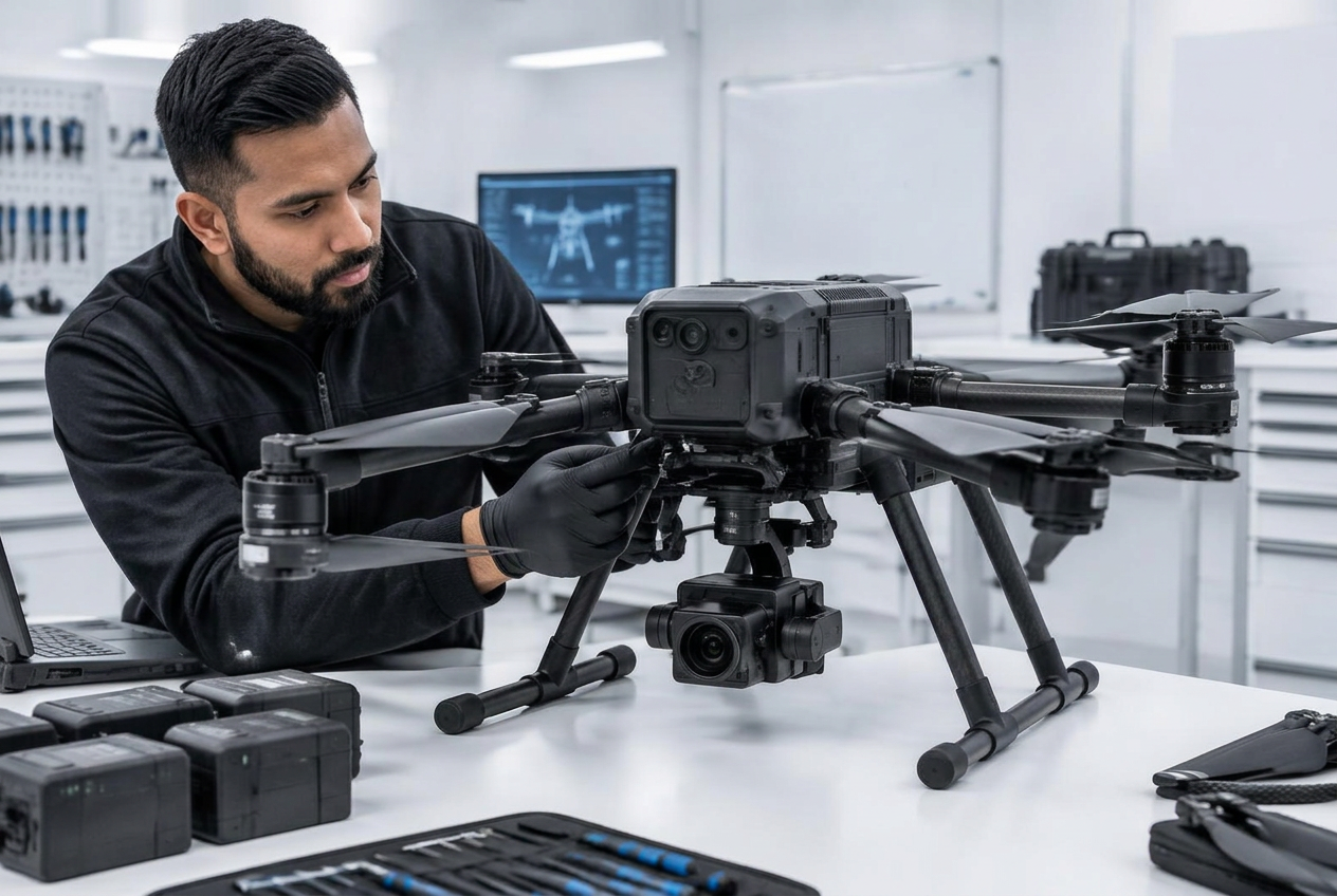
01
Inspect
Aircraft condition and operational checks.
02
Diagnose
Identify faults, wear or technical issues.
03
Service
Maintenance, repair support and return-to-operation.
Aircraft Health Checks · Troubleshooting · Repairs · Preventive Servicing · Fleet Support
Request Technical SupportThe mission determines the technology.
No single aircraft or sensor is right for every project. LANGIT starts with the required outcome, operating environment and deliverable before determining the technology stack.
- 01 Requirement
- 02 Environment
- 03 Platform
- 04 Sensor
- 05 Workflow
- 06 Output
Not sure which platform or sensor your project requires?
Tell us the required outcome. We'll help determine the appropriate technology and workflow.