
Solutions
Aerial Mapping & LiDAR
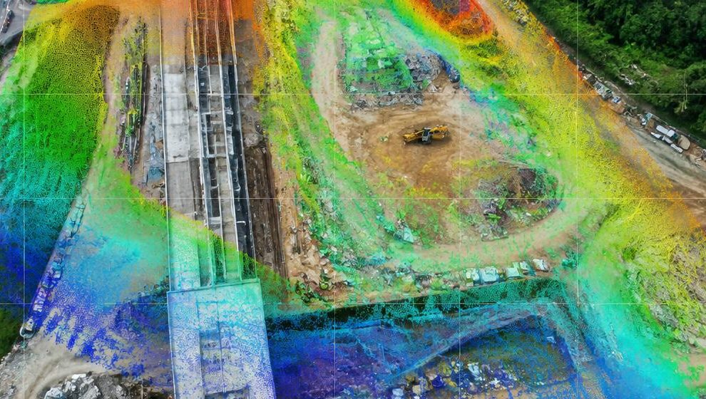
Capture accurate geospatial data across sites, corridors and estates. LANGIT plans the mission, flies the right sensor and delivers data your engineers and surveyors can work with.
What you receive
- Orthomosaic maps
- LiDAR point clouds
- Digital surface & terrain models
- Contours & volumetric calculations
- 3D reality models
- CAD / GIS-ready exports
Typical applications
Land & topographic surveyEarthworks & stockpile volumesCorridor & utility mappingPlantation & estate mapping