Industries
Aerial capability built around real operating environments.
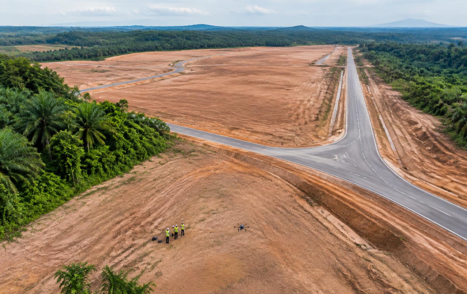
From development sites and infrastructure to plantations and industrial assets, LANGIT applies the right aerial technology and workflow around the operational requirement.
01 · Construction & Development
Better site information for better planning and delivery.
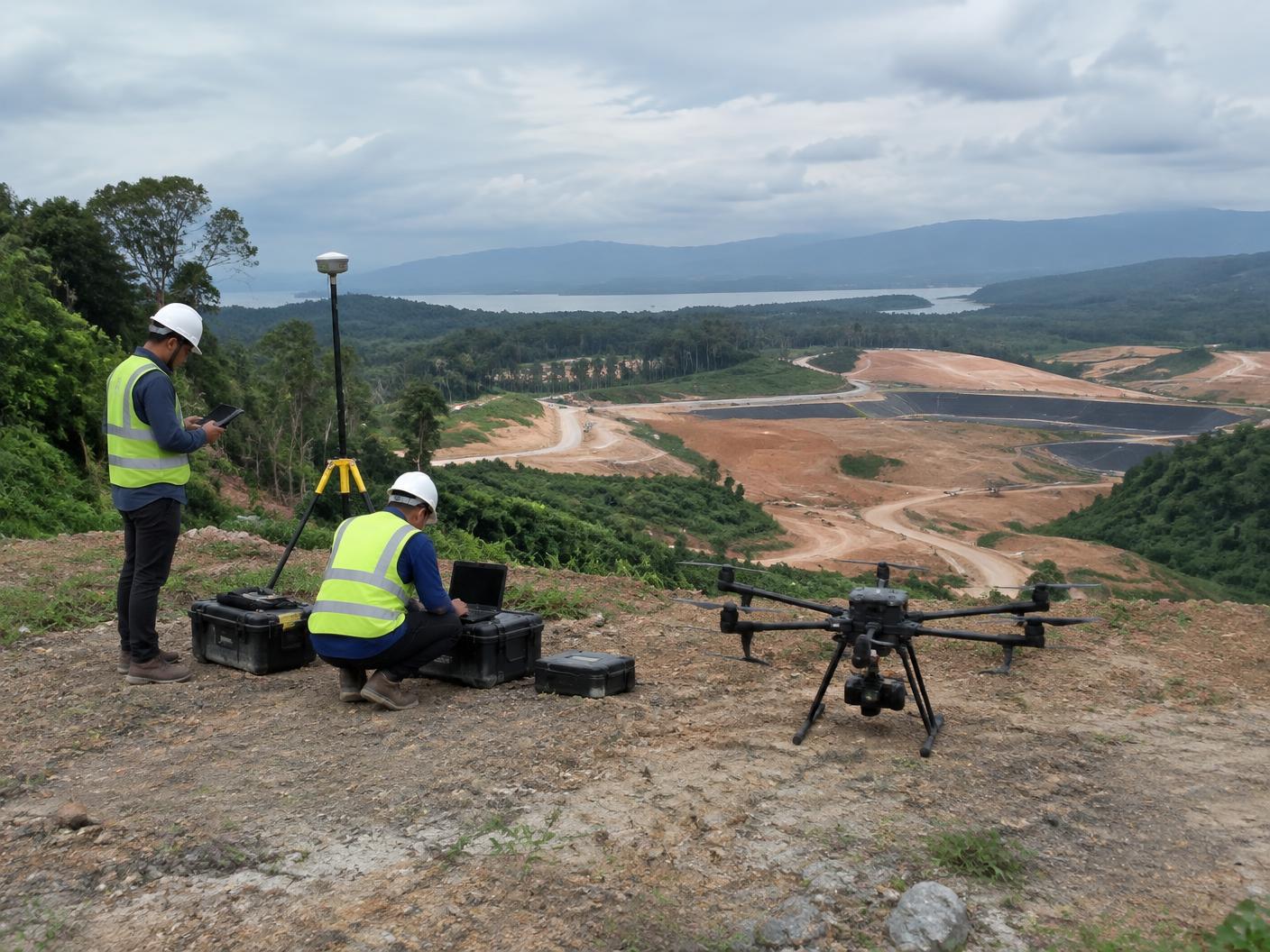
LANGIT supports developers, contractors and project teams with aerial data for site understanding, planning, monitoring and development decisions.
- Site Intelligence
- LiDAR · Orthomosaic · DSM · DTM · Contours
- Project Monitoring
- Aerial Progress Capture · Repeat Monitoring · Site Documentation
- Terrain & Planning
- Topographical Assessment · Slope Information · Drainage Support
Typical applications
Site planning · earthworks · development planning · progress monitoring · drainage assessment
02 · Infrastructure
Inspect difficult assets without unnecessary access risk.
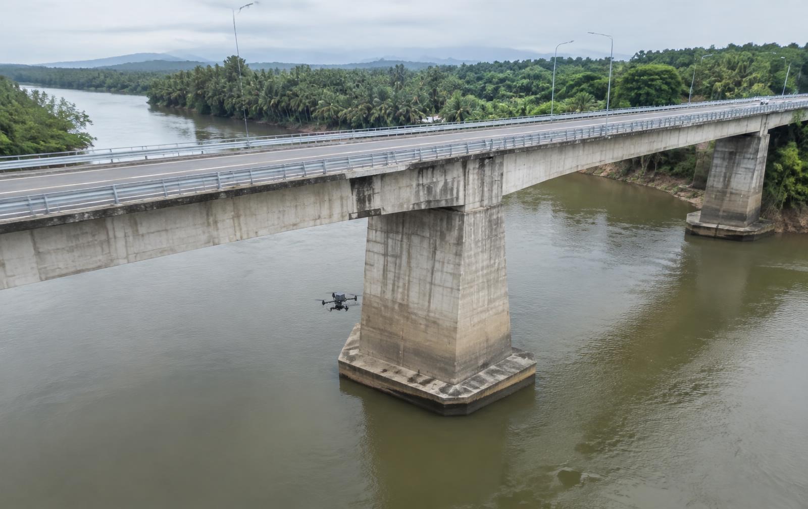
Aerial inspection and documentation for infrastructure that is difficult, costly or disruptive to access manually.
- Visual Inspection
- High-Resolution Capture · Zoom Inspection · Condition Documentation
- Thermal Inspection
- Thermal Data · Heat Anomaly Identification · Asset Review
- Repeat Monitoring
- Scheduled Capture · Comparative Documentation · Progress Tracking
Typical applications
Bridges · Towers · Roads · Structures · Industrial Assets
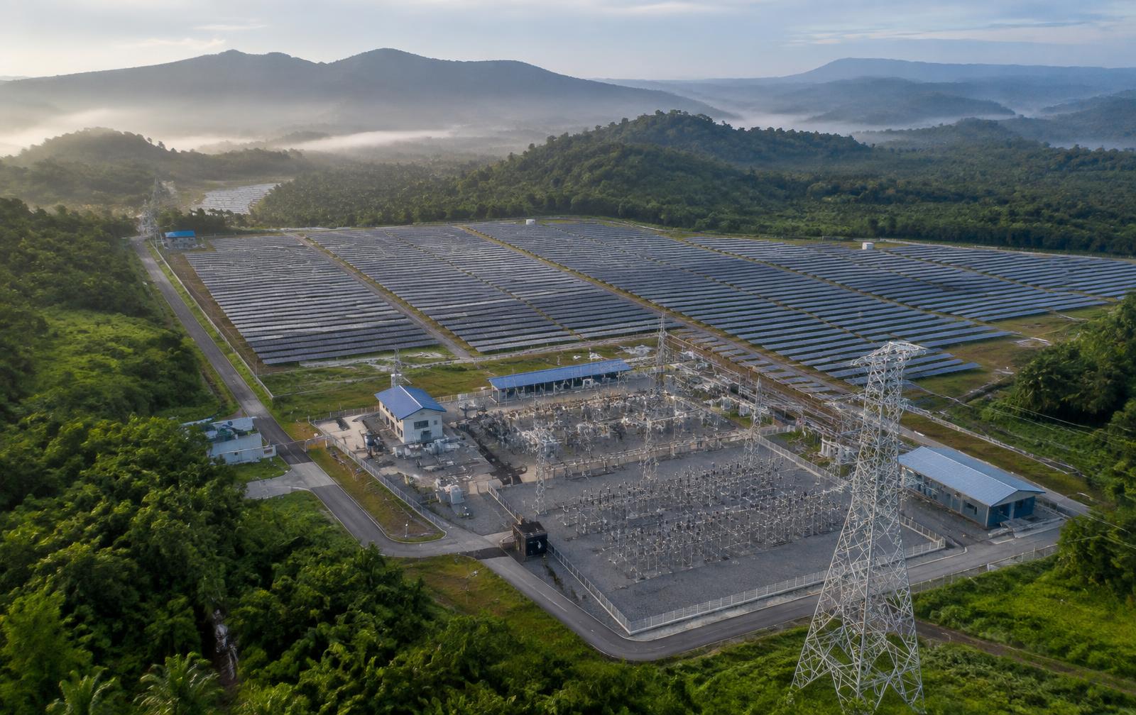
03 · Energy & Utilities
Aerial visibility for critical assets and infrastructure.
Support inspection, monitoring and asset documentation across energy and utility environments using visual, thermal and aerial data.
- Asset Inspection
- Visual · Zoom · Thermal
- Site Monitoring
- Repeat Capture · Remote Monitoring · Operational Documentation
- Enterprise Operations
- Fleet Deployment · Remote Workflows · Operational Support
Typical applications
Power Assets · Solar · Utilities · Industrial Facilities
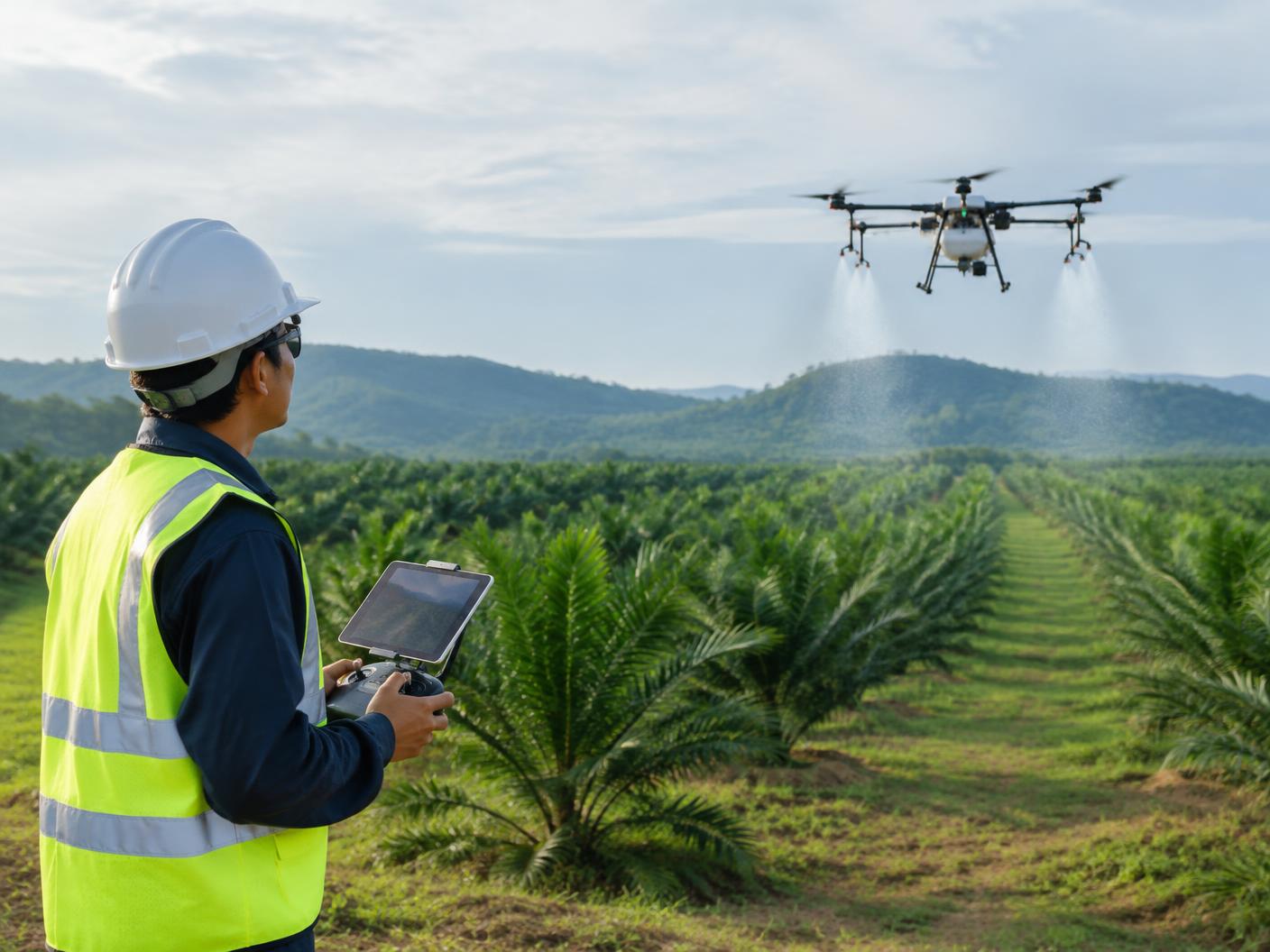
04 · Agriculture & Plantation
Aerial operations built around the crop and terrain.
LANGIT supports plantation and agricultural operations with mapping, spraying and aerial monitoring tailored to field conditions and operational requirements.
- Spraying
- Targeted Aerial Application · Coverage Planning · Mission Execution
- Mapping
- Field Mapping · Terrain Understanding · Operational Planning
- Monitoring
- Crop Observation · Repeat Capture · Field Documentation
Typical applications
Plantation Operations · Crop Protection · Large-Area Monitoring · Field Planning
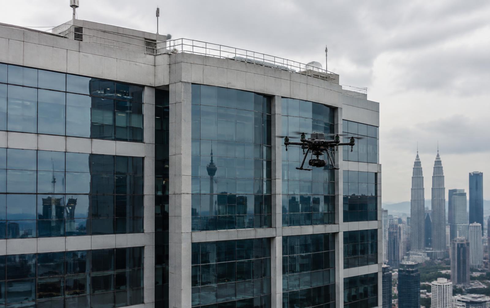
05 · Property & Facilities
Inspect buildings without putting people where they do not need to be.
Aerial inspection and documentation for roofs, façades and hard-to-access building areas.
- Roof Inspection
- Visual Condition Capture · High-Resolution Documentation
- Façade Inspection
- Close Visual Review · Hard-to-Reach Areas · Asset Documentation
- Thermal & Maintenance Support
- Thermal Capture · Maintenance Planning · Repeat Inspection
Typical applications
Commercial Buildings · Residential Developments · Facilities · Rooftops · Façades
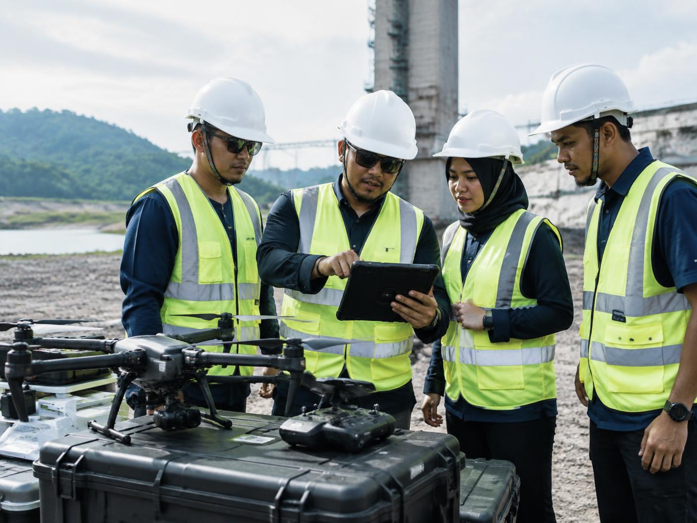
06 · Government & Public Sector
Aerial capability for complex sites, assets and public-sector operations.
LANGIT supports aerial data capture, monitoring, inspection and capability development around defined operational requirements.
- Mapping & Site Intelligence
- Aerial Mapping · LiDAR · Terrain Data
- Asset & Area Monitoring
- Inspection · Repeat Capture · Site Documentation
- Capability Development
- Drone Operations · Training · Enterprise Deployment Support
Typical applications
Public Infrastructure · Land & Site Assessment · Operational Monitoring · Internal Drone Capability
Different environments. One operating principle.
Understand the requirement first. Select the technology second. Deliver the required outcome.
- 01 Scope
- 02 Plan
- 03 Execute
- 04 Validate
- 05 Deliver