01
CAAM RCoC-B
Certified Pilots
LANGIT · Aerial Intelligence & Drone Solutions
LiDAR surveys, aerial mapping, terrain models and inspection data for property, construction, infrastructure and industrial projects.
LiDAR · Mapping · Inspection · Monitoring
CAAM RCoC-B
Certified Pilots
0+
Years of Combined Industry Experience
Enterprise Technology
Platforms, Sensors & Processing Systems
Insured Operations
CAAM-Compliant & Safety-Led
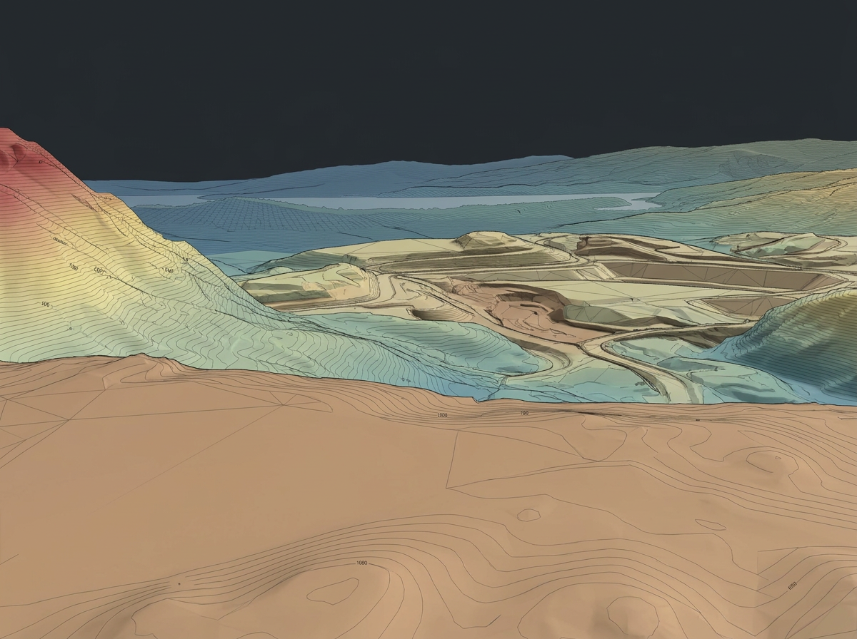
Dataset MY-SVY-01
Processing 00%
Stage 01
Capture
Capture
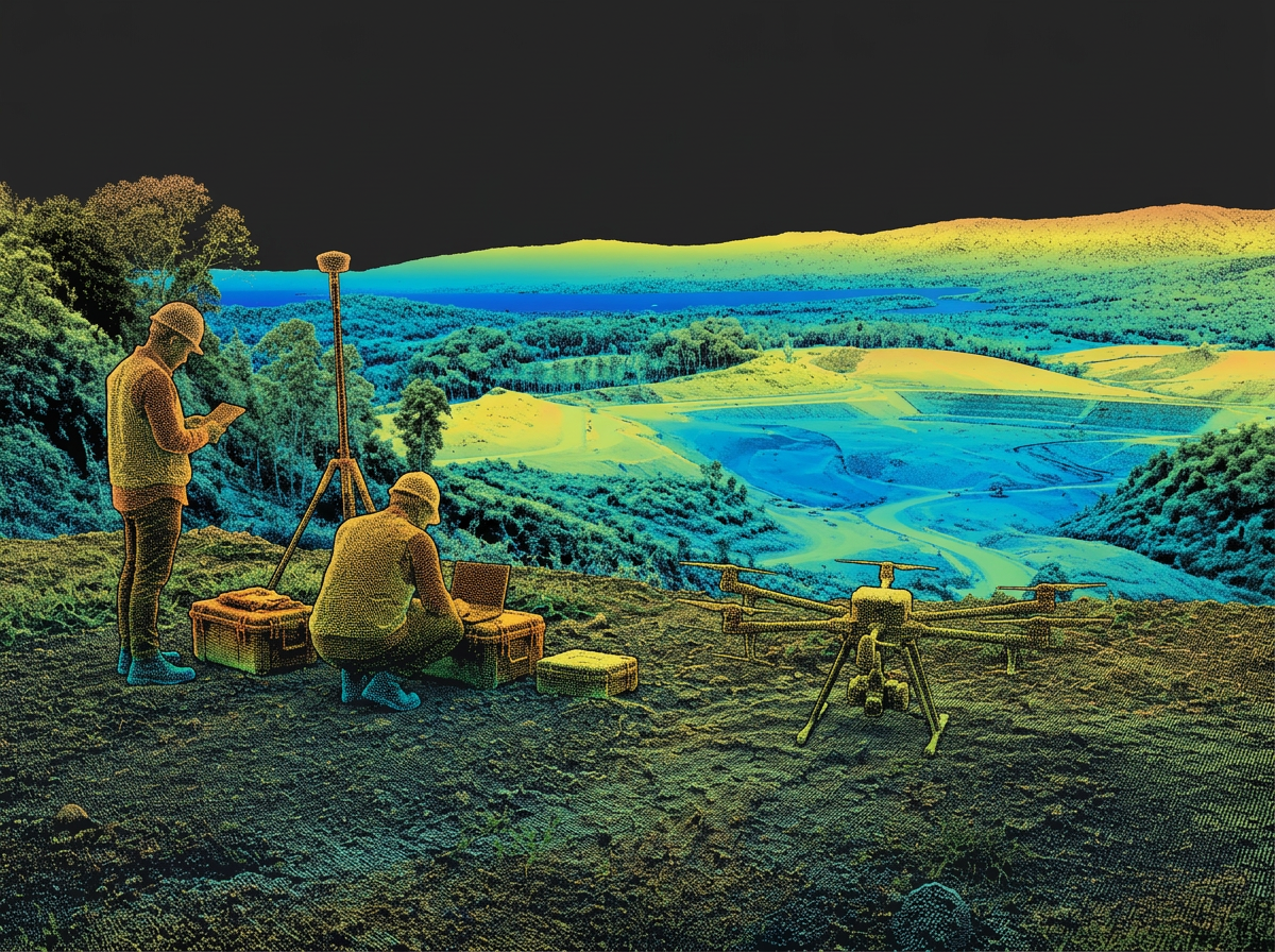
Point cloud
Terrain model
Intelligence
Flagship solution · Mapping & LiDAR
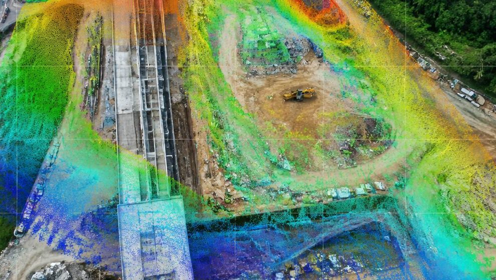
The aircraft captures the site. LANGIT processes millions of measurements into terrain information your team can use.
Decision-ready outputs
DSM · DTM · Contours
Terrain Analysis
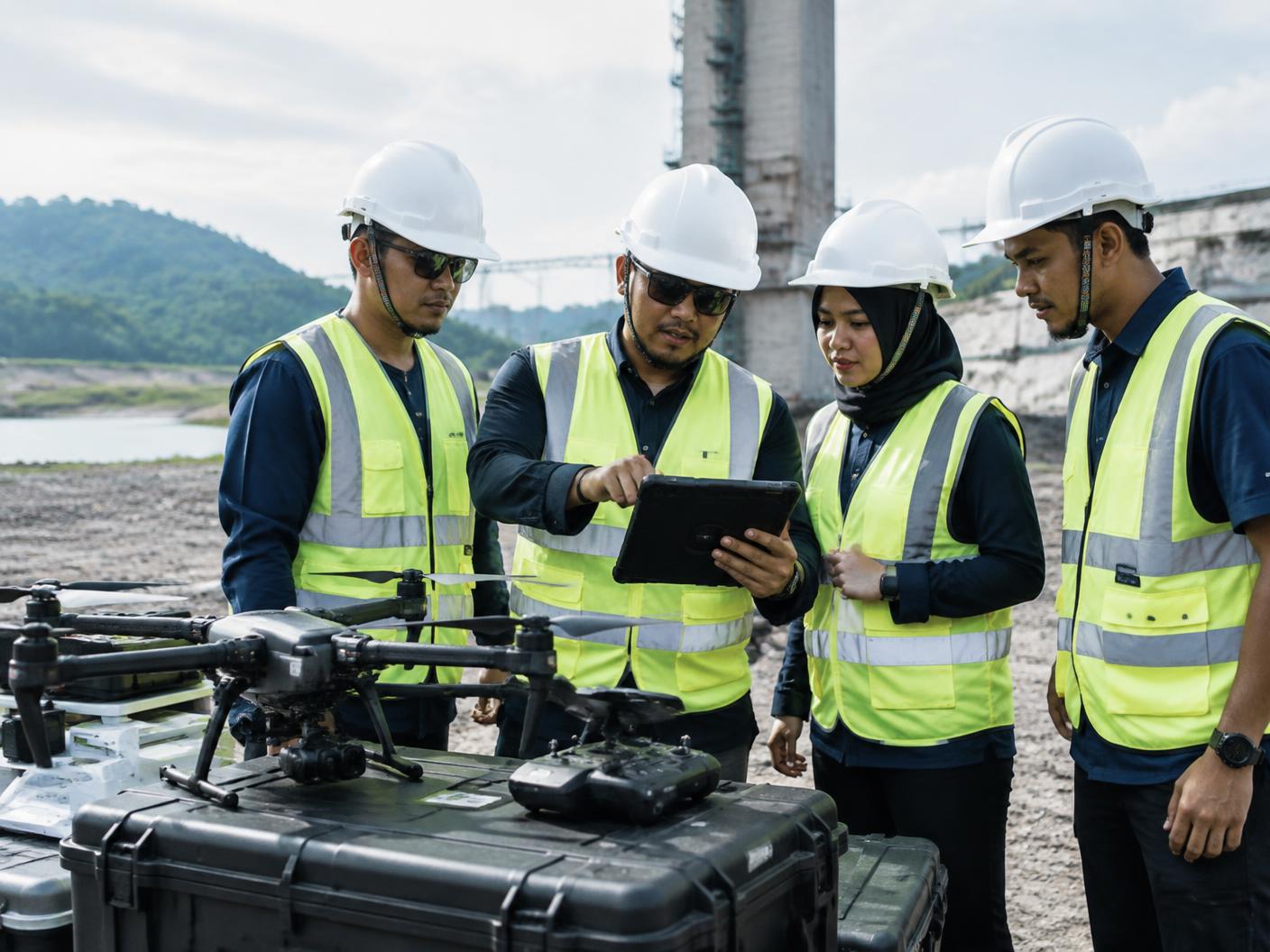
Build an operational drone capability around your organisation's requirements.
Industries
Each environment brings different terrain, assets and constraints. We plan the aerial approach around yours.

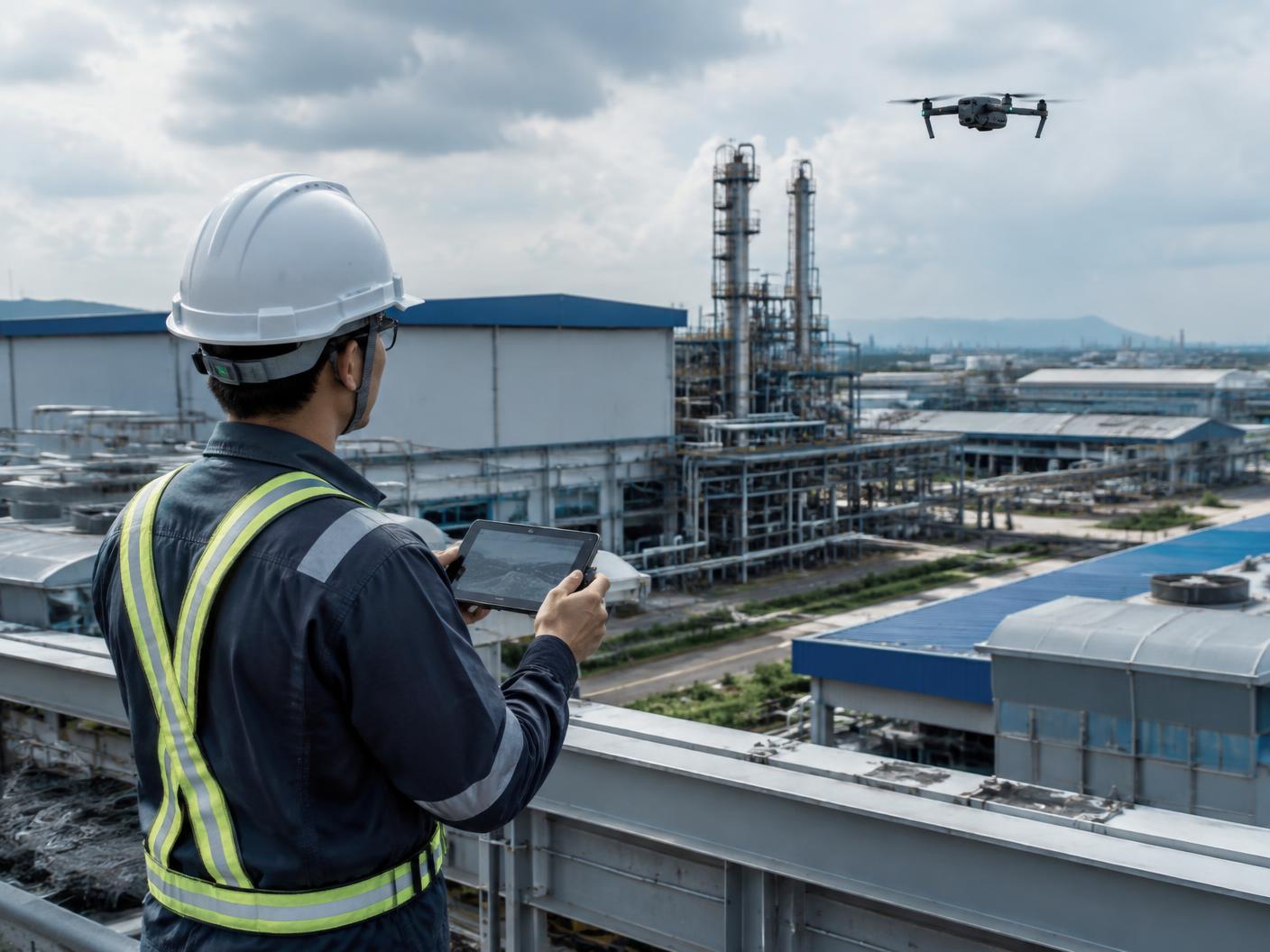
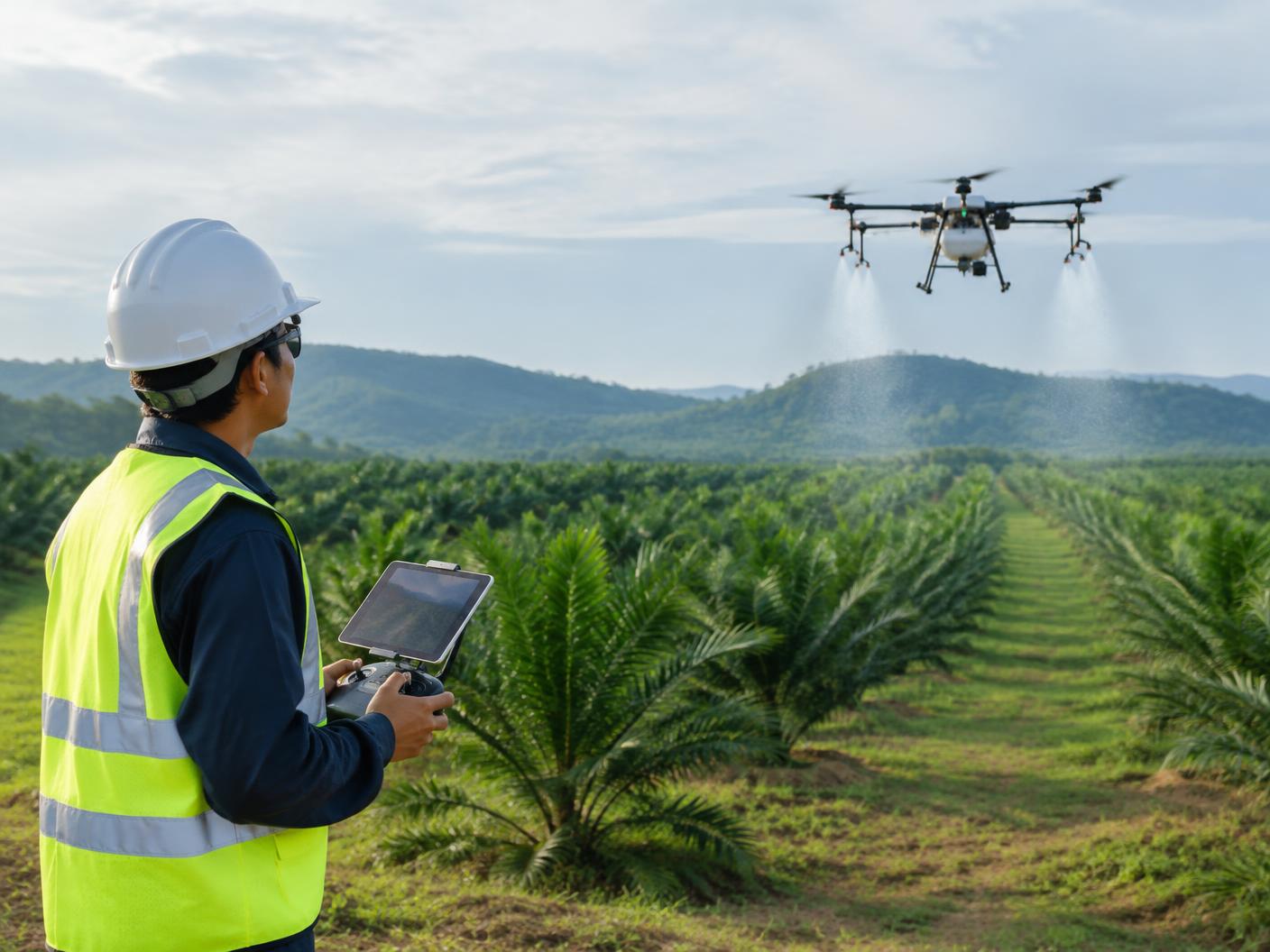

Site mapping, terrain intelligence and progress monitoring for planning and delivery.
How we work
A controlled methodology for aerial data, field operations and enterprise deployment.
Define the requirement, site, asset and intended outcome.
Build the mission route, resources and operating method.
Carry out the field operation under controlled procedures.
Review coverage, accuracy and quality before release.
Handover clear outputs, reports and usable information.
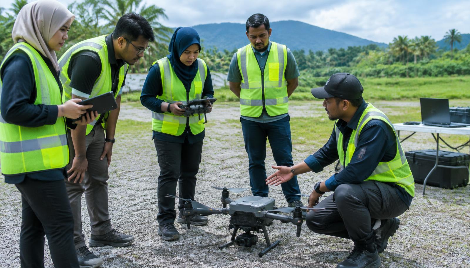
Training
Participants Trained by Our Team
Trainer experience
Our trainers bring previous industry experience delivering professional drone programmes across:
Prior trainer experience — not current LANGIT programmes.
LANGIT training & specialised applications
Delivered by experienced industry practitioners, including HRD Corp TTT-certified trainers.
Technology
We configure the right aircraft, payload and processing workflow around the mission requirement — not the other way around.
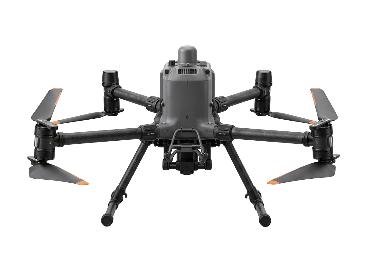
Payload
Zenmuse L2 / L3
Positioning
D-RTK 3
Processing
DJI Terra
Why LANGIT
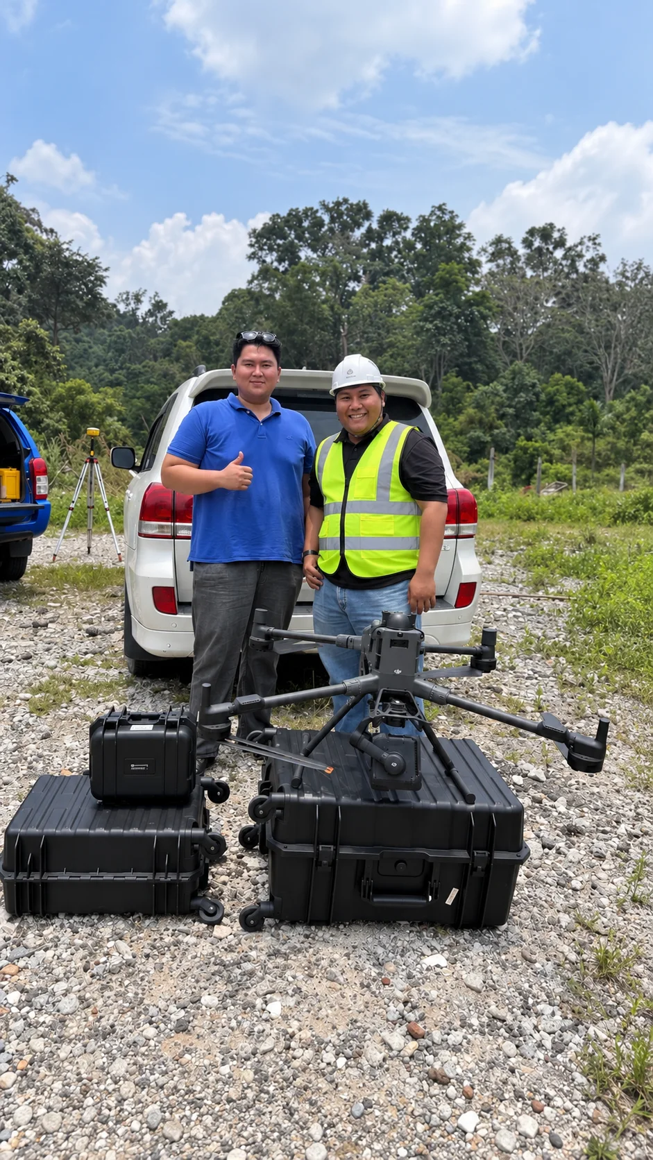
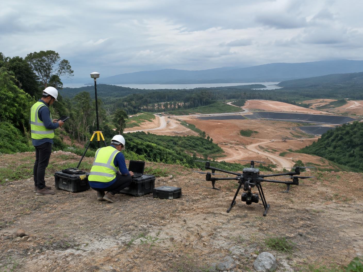
Field operation · Selayang, Selangor
We start with the required outcome, then determine the right platform, sensor and workflow.
From planning and field operations to processing, delivery, training and technical support.
Experience across Malaysian terrain, industries and aviation requirements.
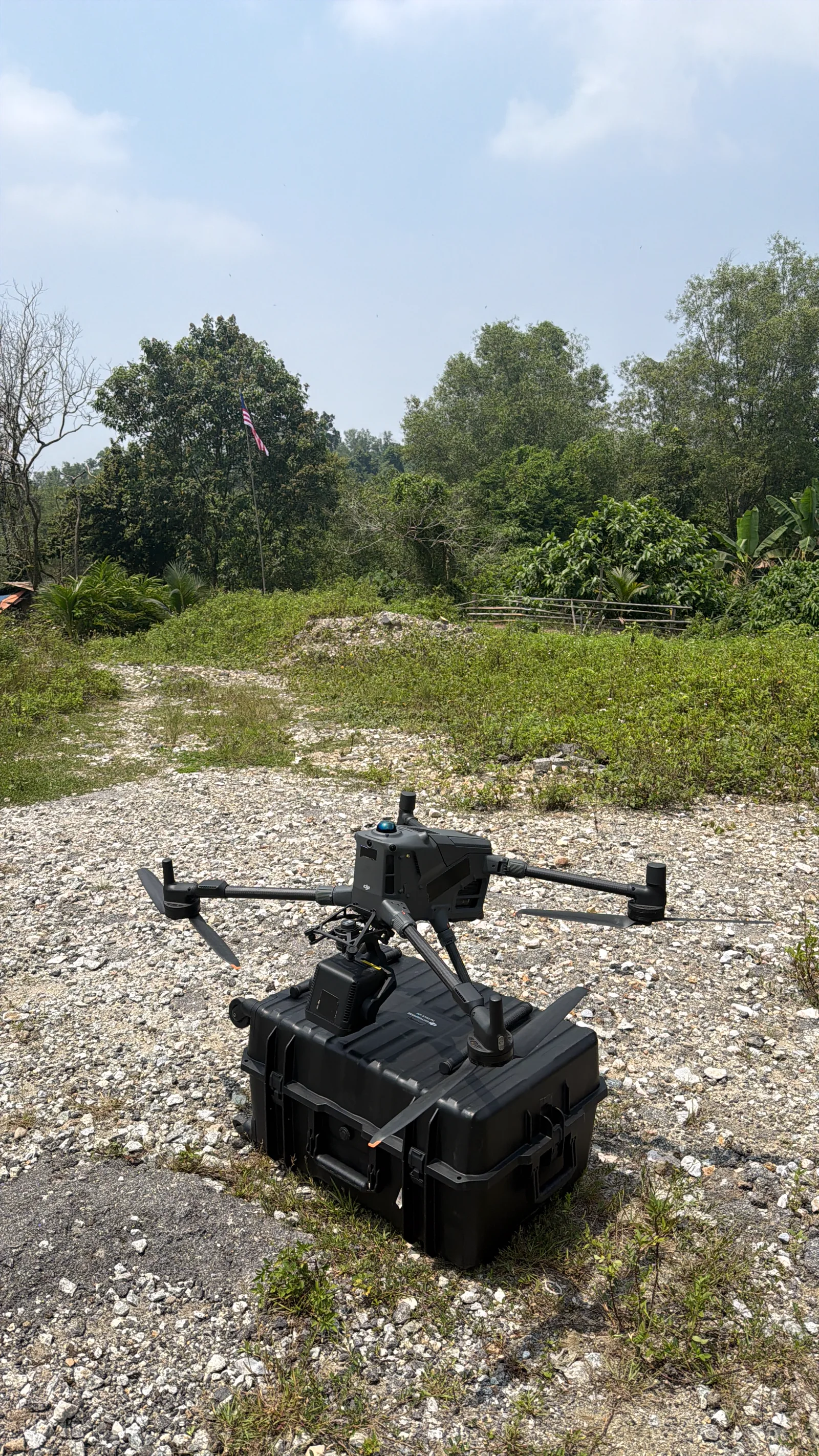
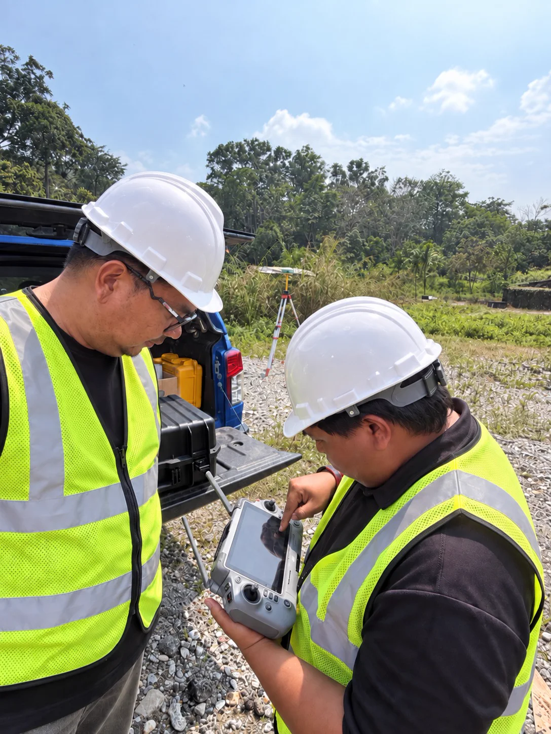
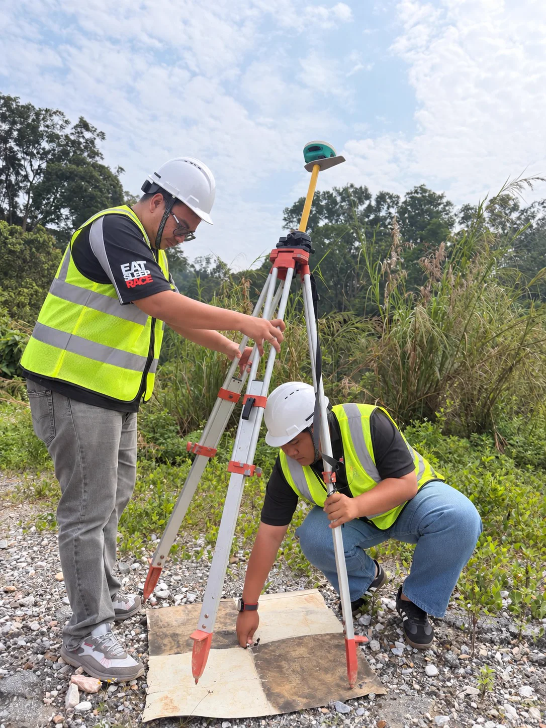
Featured project · Selayang, Selangor
Tell us what you need to achieve. We’ll help define the right aerial approach and required outputs.
WhatsApp LANGIT