
Processed output[PLACEHOLDER] Approved DSM / DTM output image to be supplied.
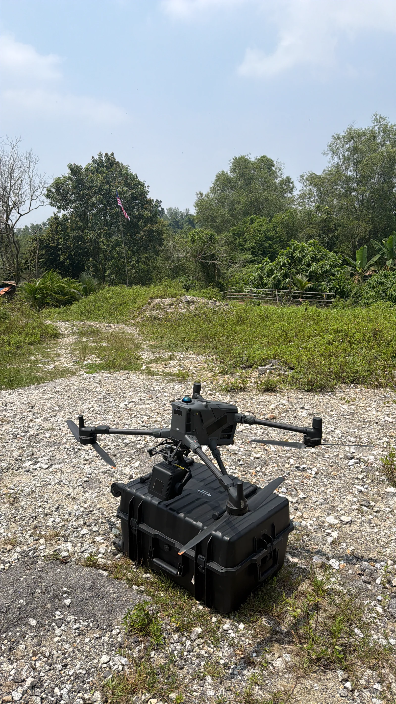
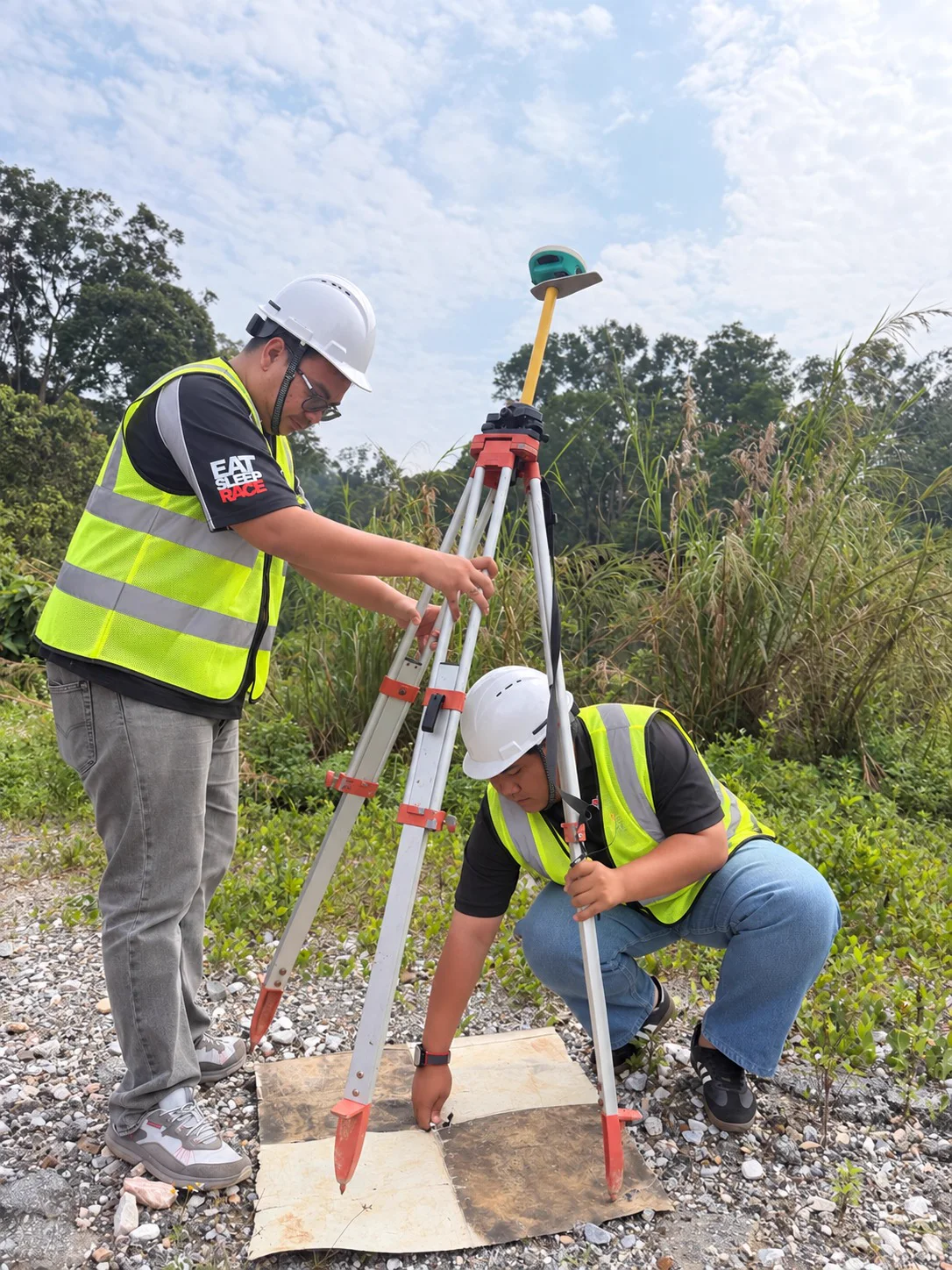
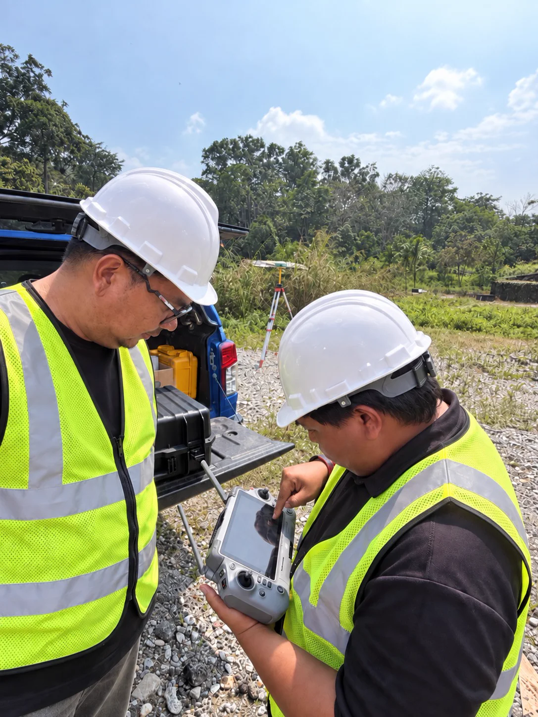
Aerial Mapping & LiDAR · Selayang, Selangor
Private Land LiDAR Survey
- Requirement
- Terrain information to support site planning and assessment.
- Approach
- Aerial LiDAR acquisition and geospatial processing.
- Delivered
- DSM · DTM · Terrain Data
- Used for
- Drainage Planning · Development Planning · Topographical Assessment
Technology
DJI Matrice 400 · Zenmuse L3