SOLUTIONS
Aerial solutions built around the outcome.
From terrain intelligence and asset inspection to agriculture and enterprise drone deployment, LANGIT scopes the technology and workflow around the project requirement.
01 · MAPPING & LIDAR
Turn the site into usable spatial information.
Aerial LiDAR and mapping workflows for planning, engineering, development and site assessment.
Deliverables
- Orthomosaic
- DSM
- DTM
- Contours
- Point Cloud
- Terrain Models
Typical applications
- Development Planning
- Drainage
- Earthworks
- Site Assessment
- Progress Monitoring
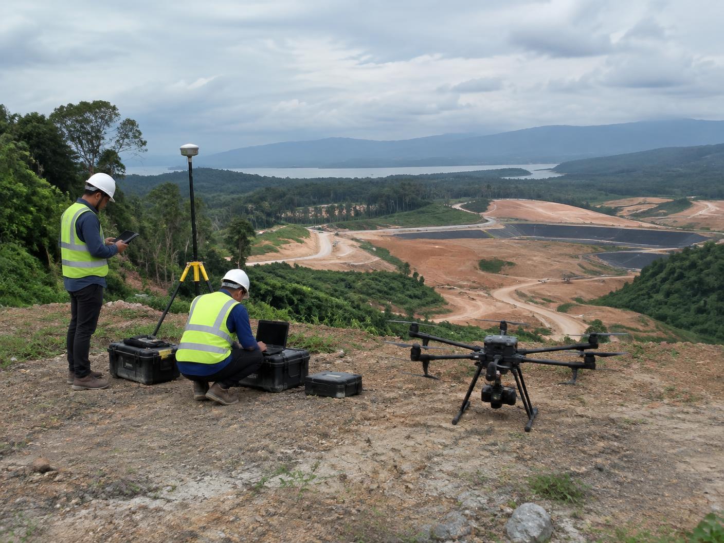
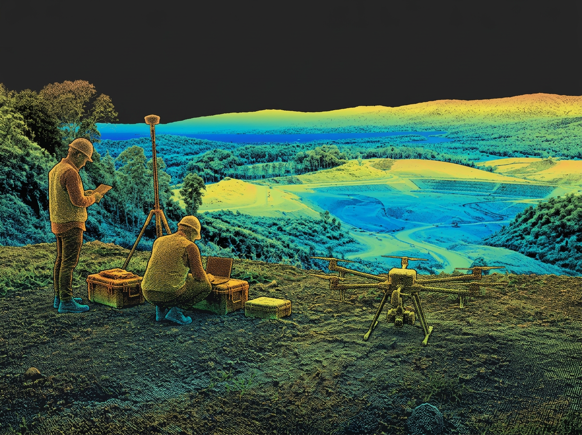
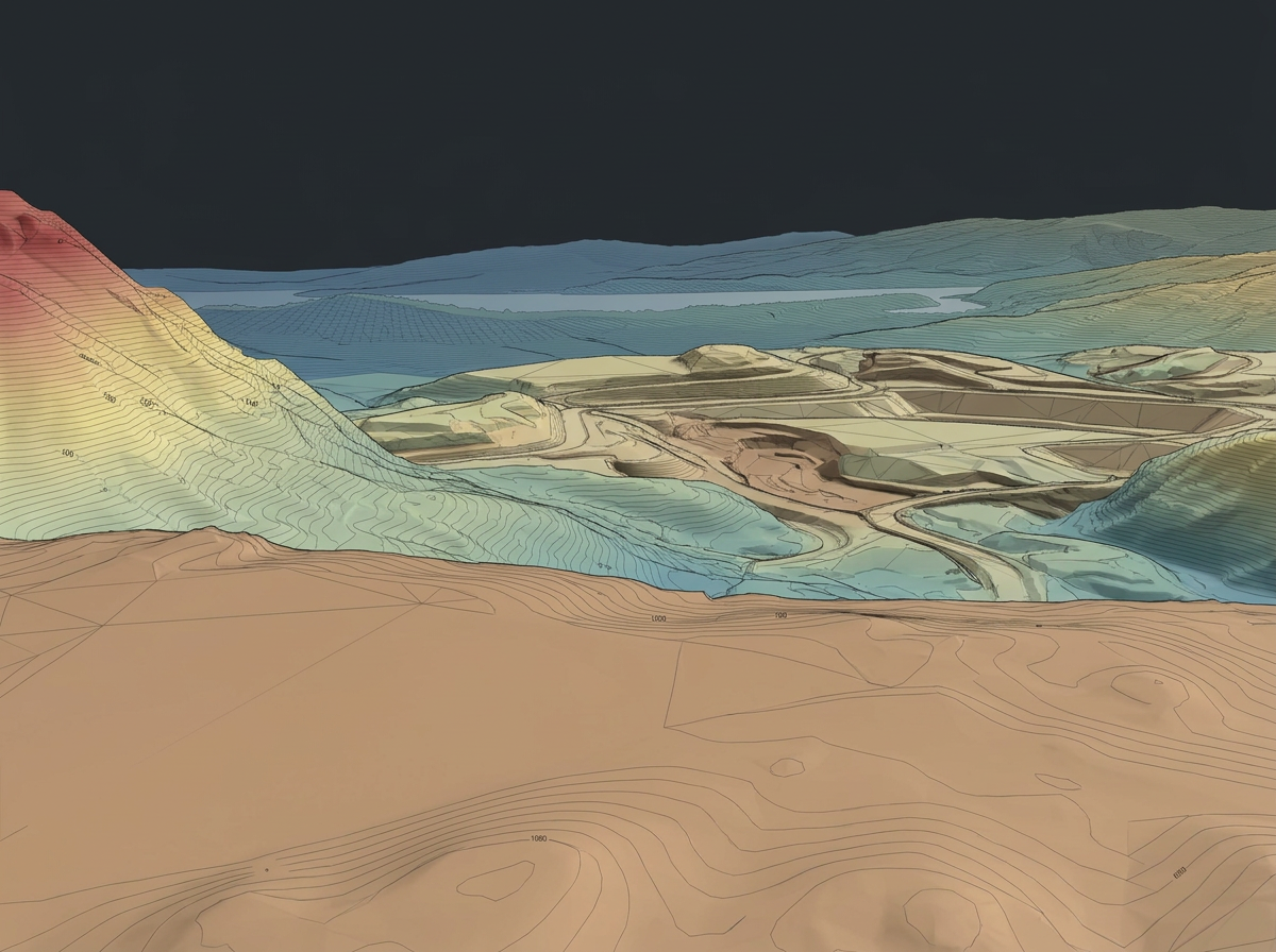
Stage 01 · Field capture
01 Field capture
02 Point cloud
03 Terrain output
02 · INSPECTION & MONITORING
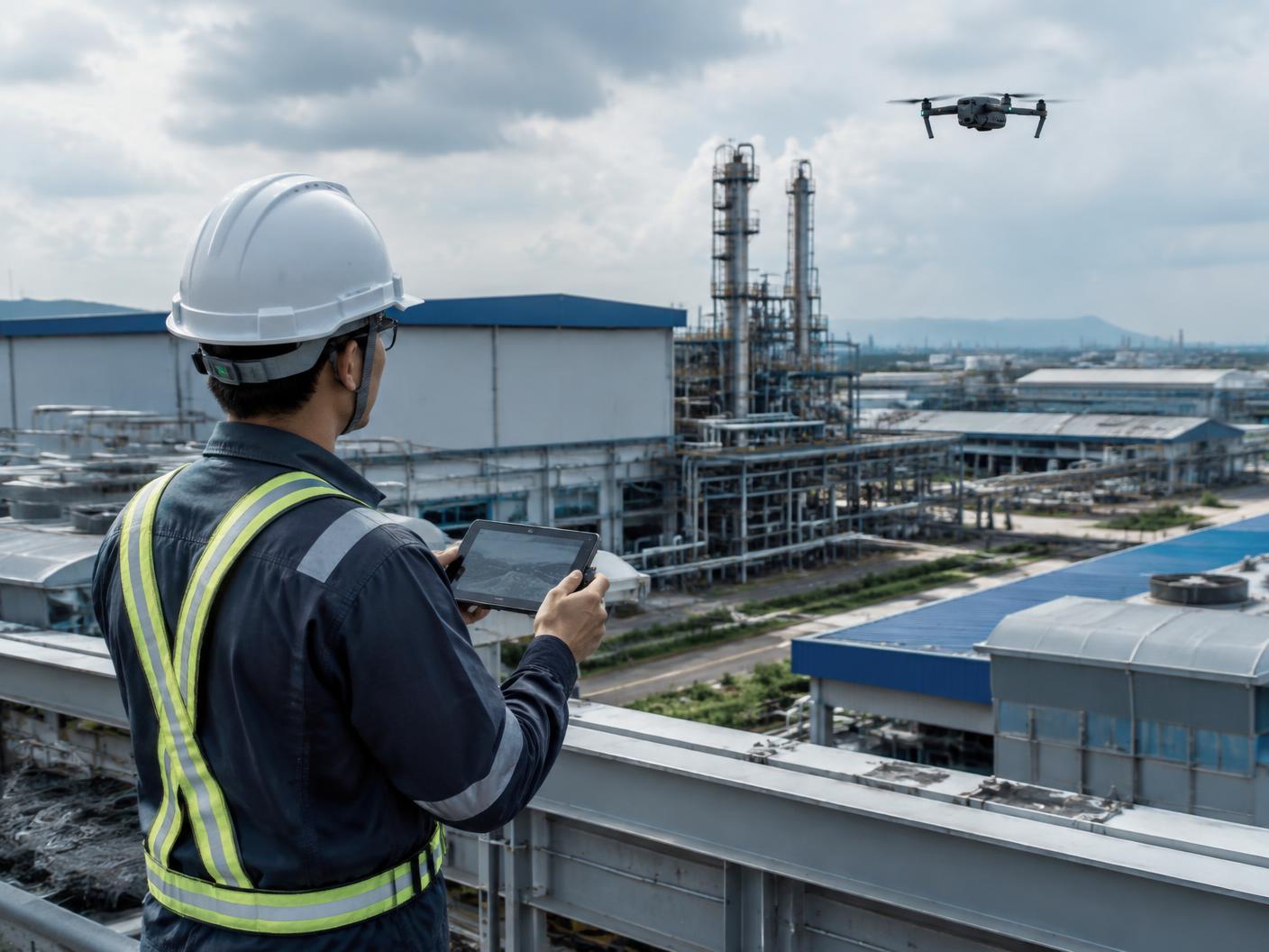
See difficult assets clearly without unnecessary access risk.
Visual, zoom and thermal inspection support for buildings, infrastructure and industrial assets.
- Visual Inspection
- Thermal
- Asset Documentation
- Progress Monitoring
Coverage path · illustrative
03 · AGRICULTURE
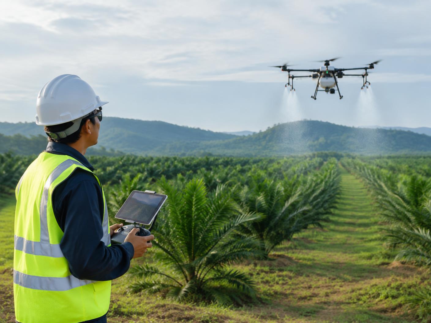
Aerial operations planned around the crop and terrain.
Support spraying, mapping and crop monitoring with workflows shaped around field conditions and operational requirements.
- Spraying
- Mapping
- Crop Monitoring
- Field Operations
04 · ENTERPRISE DRONE SOLUTIONS
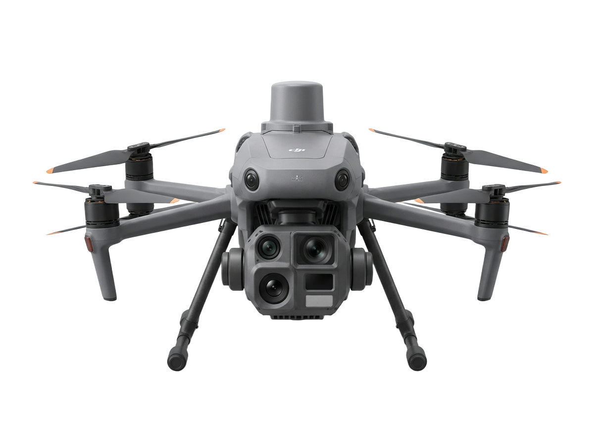
Build an operational drone capability around your organisation.
Support internal drone programmes from requirements assessment and technology selection through deployment, training and technical support.
01
Assess
02
Configure
03
Deploy
04
Train
05
Support
05 · SPECIAL PROJECTS
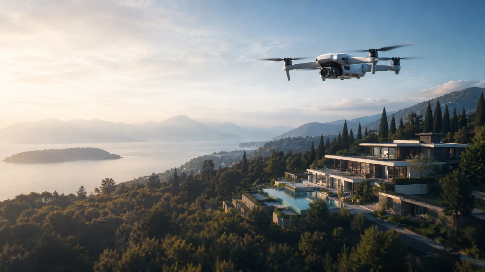
Aerial capability for media, events and specialised applications.
- Aerial Cinematography
- Event Activations
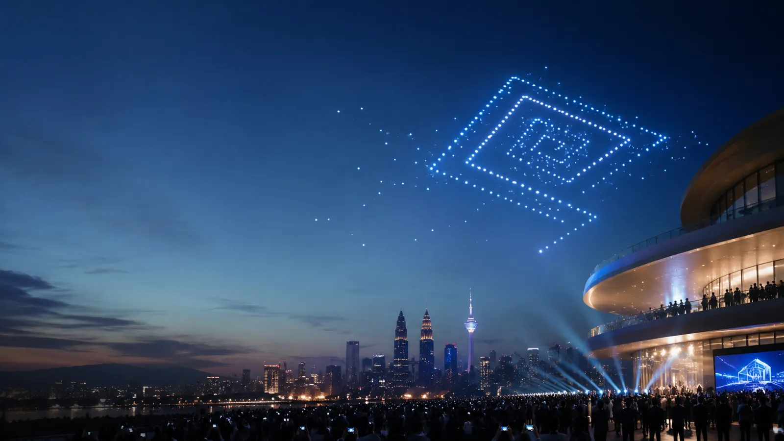
- Drone Lightshows
- Special Operations
06 · SUPPORTING CAPABILITIES
Training
Practical drone capability for individuals and organisations.
- Fundamentals
- Mapping
- Agriculture
- Inspection
- Maintenance
Technical Support
Keep professional drone operations ready for the next mission.
- Inspection
- Troubleshooting
- Maintenance
- Fleet Support
Not sure which solution fits the requirement?
Tell us the site, asset or operational outcome. We'll help determine the right approach, technology and outputs.